![]()
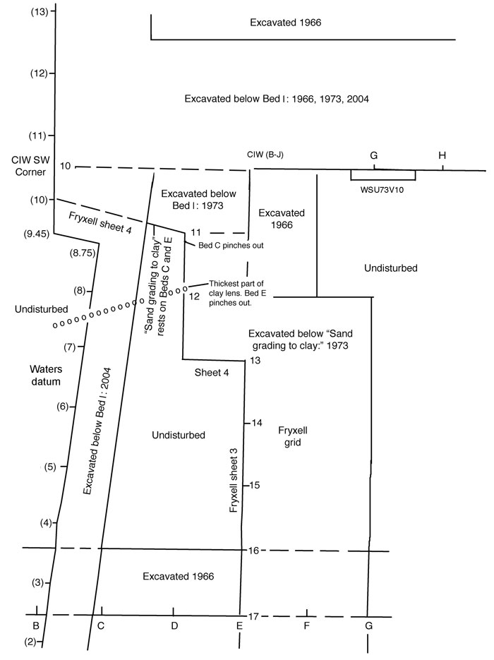
FIGURE 18. Map of the western part of the area excavated in 1966 and the northern part of the area excavated in 1973 and 2004. Grid marks for 1973 were established by Roald Fryxell, and those for 2004 were used by Michael Waters.
|
|
FIGURE 18. Map of the western part of the area excavated in 1966 and the northern part of the area excavated in 1973 and 2004. Grid marks for 1973 were established by Roald Fryxell, and those for 2004 were used by Michael Waters.
|